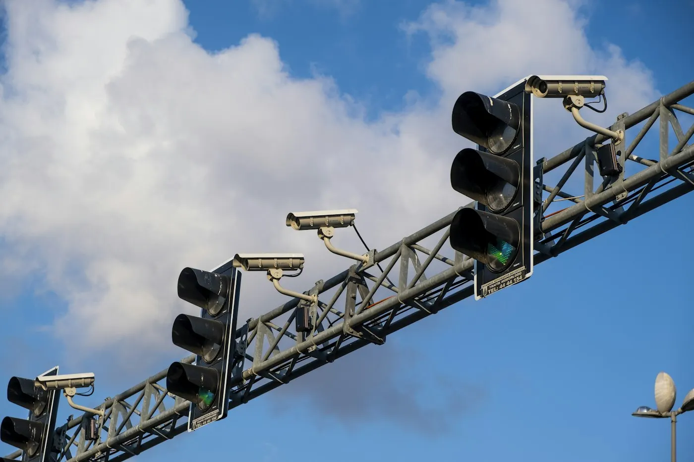
MapQuest just shipped a feature that marks the location of license plate readers and surveillance cameras on its map. The real story is not the eyeball icons. It is the timing: the update landed two weeks after a federal judge called one of the country's largest camera networks "indiscriminate mass surveillance," and in the middle of the biggest wave of local contract cancellations that network has ever seen.
Key takeaways
- MapQuest's new Surveillance Layer marks cameras and license plate readers from 11 vendors, including Flock Safety, Motorola Solutions, Axon and Verkada, toggled on in Map Options, according to TheNextWeb and Gizmodo.
- The launch follows an October 1, 2026 federal ruling in Oklahoma that a warrantless Flock database search was unconstitutional, with the judge calling the system "a type of indiscriminate mass surveillance," per TechCrunch.
- Newsweek has tallied at least 149 cities, counties and other local governments that have canceled, rejected or deactivated Flock contracts.
- MapQuest has not said where its camera location data comes from, and Gizmodo notes it resembles the crowdsourced DeFlock project, meaning coverage is likely incomplete and unverified.
The Surveillance Layer Arrives Right as Courts Turn on Flock
MapQuest announced the feature on social media on October 15, 2026, with the tagline "The Roads Have Eyes!", and outlets including TheNextWeb and Gizmodo covered it the next day. Users switch it on from the app's Map Options menu, the same place they would enable traffic or incident overlays, and an eyeball icon appears over every known camera or reader location.
The feature covers devices from Flock Safety, Motorola Solutions (through its Vigilant brand), Genetec, Axis Communications, Axon, Leonardo (ELSAG), Neology, Rekor, PlateSmart, Ubicquia and Verkada, per matching reports from TheNextWeb and Gizmodo. That list is broad, but Flock Safety is doing most of the cultural work here. It is one of the largest automated license plate reader (ALPR) networks in the country, and it is currently the most litigated and the most canceled.
Advertisement
Two weeks before MapQuest's announcement, a federal judge in the Northern District of Oklahoma, Sara Hill, ruled that a Tulsa County sheriff's deputy violated the Fourth Amendment by searching Flock's plate database without a warrant, according to TechCrunch. The deputy had, in Hill's words, "no apparent reason" to search the woman's plate "other than the fact that" her vehicle carried a California tag. Hill called the system "a type of indiscriminate mass surveillance" that "collects information about all vehicles that pass by any network-connected camera at all times," and she suppressed all evidence that followed from the search, including roughly 91 pounds of methamphetamine found afterward. The ruling does not bind other courts, but TechCrunch notes it is one of the first federal decisions to call a Flock search unconstitutional outright.
A Legacy App Found Its Growth Hack in Political Backlash
This is not the first time MapQuest has turned a controversy into a download spike. Earlier in 2026, Google Maps and Apple Maps relabeled Lake Ontario as "Lake America" after the Trump administration directed the federal Geographic Names Information System to make the change, and both apps update their place names from that federal registry. MapQuest refused, according to Gizmodo, and the app shot to the top of the Apple App Store as users rewarded the holdout with downloads. MapQuest also declined to rename the Gulf of Mexico "Gulf of America," choosing instead to ship a joke "Gulf Name Generator."
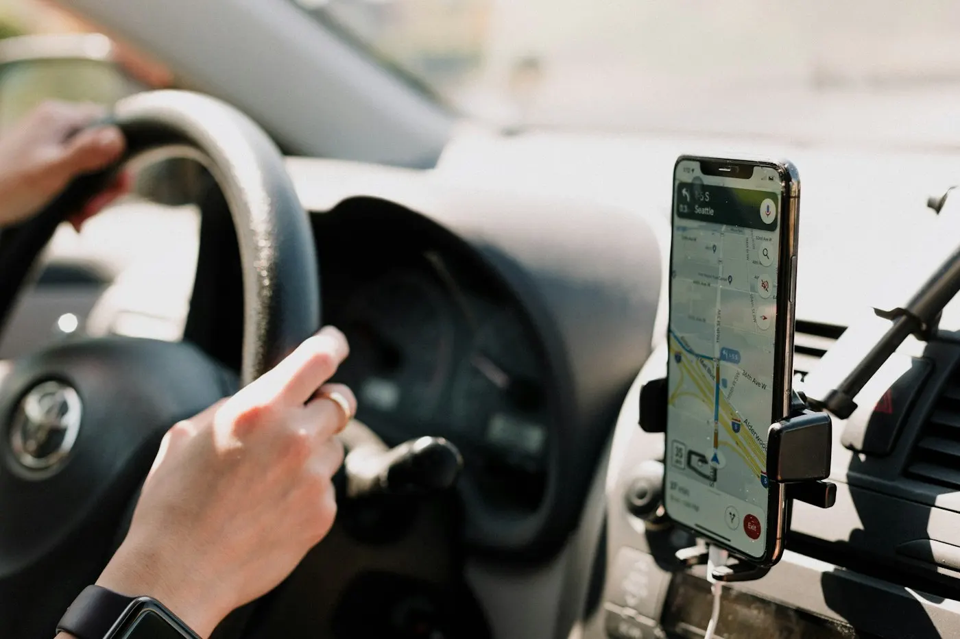
The pattern matters because it reframes what the Surveillance Layer actually is. It is not primarily a safety tool or a transparency project with a mission statement behind it. It is a 25-year-old mapping brand that found a reliable way to get attention: pick a side in a live privacy or naming fight and let the backlash do the marketing. Readers who want to use this feature for privacy reasons should know that distinction, because it changes how much polish and long-term support to expect from it.
Advertisement
If you're weighing which privacy tools are worth your time versus which are mostly symbolic, it helps to compare this to tools people adopt for ongoing protection. A VPN is maintained year-round specifically to shield your traffic from network-level tracking. An encrypted messenger such as Signal is built and updated against known surveillance threats as its core mission. A map layer bolted onto a navigation app during a news cycle is a different category of product, even when it's genuinely useful in the moment.
The Data Behind the Eyeball Icons Is Crowdsourced, Not Verified
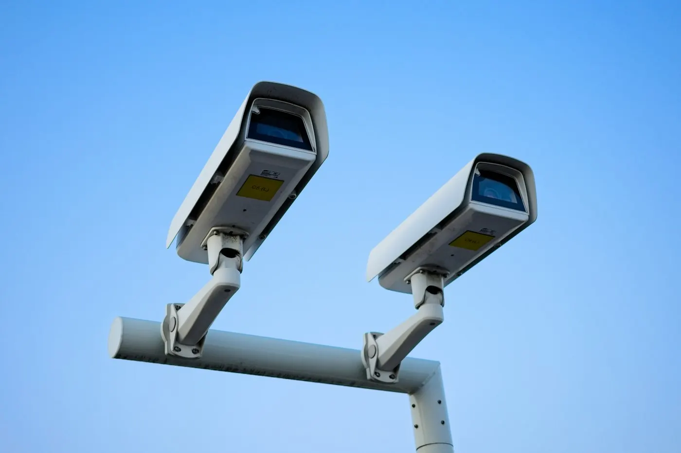
MapQuest has not disclosed where its camera and reader locations come from. Gizmodo reports the dataset looks similar to DeFlock, a volunteer-run, user-submitted map of ALPR cameras, and speculates MapQuest may be drawing on that project along with OpenStreetMap data, though it could not confirm this with MapQuest directly. Both TheNextWeb and Gizmodo describe the locations in MapQuest's own layer as crowdsourced, meaning users can add cameras they spot in the field.
✦ Free Newsletter ✦
Never miss a story
Tools, tutorials and AI deep-dives - straight to your inbox, every week.
That matters because crowdsourced infrastructure maps are inherently a snapshot, not a registry. Cameras get added by vendors faster than volunteers can document them, some units are temporary or mobile, and a reader removed last month may still show up on the map next year. Treat the Surveillance Layer as a rough, community-built sketch of where cameras have been spotted, not a verified or exhaustive inventory of every device on a given road.
Who Should Actually Use This Layer, and Who Should Skip It
This feature is genuinely useful for a specific kind of reader, and close to useless for another. The difference comes down to what you expect from the data.
- Use it if: you're a journalist, researcher, or privacy-conscious driver who wants a rough sense of where ALPR coverage is concentrated in a city or along a route, and you're comfortable treating the data as incomplete.
- Use it if: you already care about this issue and want a free, no-signup way to see the scale of plate-reader deployment near you, since the toggle sits inside an app you may already have installed.
- Skip it if: you need a legally reliable or comprehensive map, say for a public records request, a court filing, or advising a client, since the data is unverified and MapQuest has not named its source.
- Skip it if: you think switching on a layer will meaningfully help you avoid being recorded. License plate reader networks grow faster than any volunteer map can track, and the feature cannot show cameras no one has logged yet.
The Counterargument: This Might Help Criminals as Much as Commuters
The strongest case against a public camera-location map is the one Flock itself makes about its own product: these networks exist to solve crimes, recover stolen cars and find missing people, and a map that shows exactly where the cameras are not could, in theory, help someone planning a crime pick a route that avoids them. Newsweek reports Flock defends its technology as "a valuable tool for public safety," and that framing is not pure spin. Local police departments across the country have credited ALPR hits with real arrests.
Advertisement
That argument deserves to be taken seriously, but it does not hold up well against the specifics of this moment. The map is crowdsourced and incomplete, so it is a poor tool for anyone trying to systematically evade detection, while it is a reasonably good tool for an ordinary driver curious about what's nearby. More importantly, the backlash against Flock was not manufactured by a mapping app. Newsweek's tally of at least 149 cities, counties and other local governments that have canceled, rejected or deactivated Flock contracts includes departments that pulled out after confirmed misuse, not hypothetical ones. In Lufkin, Texas, an officer was indicted after allegedly accessing Flock data "tens of thousands of times." In Pflugerville, Texas, the city ended its agreement after learning hundreds of outside organizations had searched its camera data. Those are the incidents driving the backlash, not a map layer that shipped on October 15.
Flock Is Already Changing in Response, Which Tells You the Pressure Is Real
The clearest sign that this controversy is substantive rather than manufactured is that Flock is adjusting its own policies ahead of it. According to Newsweek, the company plans to cut its default data retention period from 30 days to seven, and starting January 1 it will require agencies using the system to run audits and tie searches to specific case numbers. Separately, Representative Thomas Massie has introduced federal legislation that would deny certain funding to agencies that use Flock cameras. None of that was prompted by MapQuest. It was prompted by a string of misuse cases and now a federal court ruling, and MapQuest's Surveillance Layer is better understood as a response to that momentum than a cause of it.
Advertisement
What to Watch Next
Watch two things, not the map itself. First, whether Judge Hill's Oklahoma ruling gets appealed and whether other federal courts start citing it, since a single district court opinion on a routine drug case can become influential fast if other judges adopt its reasoning about the Fourth Amendment and passive, always-on tracking. Second, watch whether MapQuest discloses its data source or partners formally with a project like DeFlock, since that would turn the Surveillance Layer from a clever marketing moment into something closer to a maintained public resource. Until then, treat the eyeball icons as a conversation starter about ALPR networks, not a reliable map of where you are and are not being recorded.
Sources
- MapQuest now shows Flock and other surveillance cameras on its map, TheNextWeb
- The MapQuest Renaissance Continues as the Platform Adds Flock Camera Locations, Gizmodo
- Federal judge calls Flock 'indiscriminate mass surveillance', TechCrunch
- Map Shows Cities, Counties Canceling Flock Cameras Amid Backlash, Newsweek

Advertisement